TECHNOLOGY AND TRANSIT: STRENGTHENING TOD WITH GIS
Aristotle said, “People come together in cities to live, but they stay together in cities to live the good life.” As urban planners and architects, we strive to improve people’s lives through thoughtful design and planning for the built environment. Urban transit has been promoted as a way to make cities more livable, sustainable and enhance quality of life. A recent study done by Jason Cao, a transportation policy professor at the University of Minnesota suggests that good transit can be positive emotional force, which means living near well-planned transit can make people more satisfied with their lives. People enjoy the easy access to great social and cultural destinations that good transit affords them. But how do we visualize the connectivity between people, transit and travel destinations? How can we better evaluate its impact on our planning and design process? For my project, I wish to explore the methods of representing the transit connectivity and accessibility with the aid of Geographic Information System (GIS) technology.
Current Transit Oriented Development (TOD) planning is often focused on the transit station and its immediate adjacent area, usually within a radius of one-quarter to one-half-mile walking distance. But the investments in transit are designed to provide the riders with high level of mobility and easy access to different activity destinations. The satisfaction comes from the enhanced access to shops, grocery stores, schools, museums and job centers maybe in other parts of city, rather than transit station itself. Therefore, we may need to broaden our efforts looking into the network and measuring how much of the benefit transit riders can capture through analyzing where and how far people can reach via the multi-modal network.
I have decided to explore the use of open data, General Transit Feed Specification (GTFS) to conduct my study. GTFS offers the most detailed transit schedules open to public. It has been widely used in trip planning and also provides possibilities for advanced analysis. I am studying how to incorporate this GTFS data into the GIS network analysis and visualize transit network-based connectivity. It is a big challenge for me to overcome some technical difficulties in computer programming language. I hope to hone my skills by attending workshops and communicating with experts. I also plan to travel to cities with early application of GTFS such as Portland, Oregon and Seattle, Washington, to understand how the technology works for transit riders and evaluate how close my research is to the real world experience.
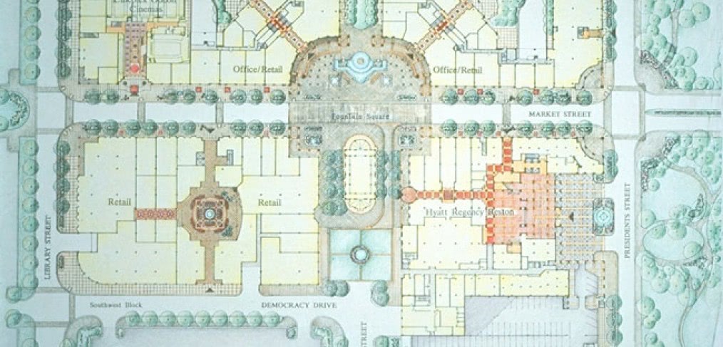
Last but not least, I will test the method visualizing the transit connectivity for Reston Town Center in Northern Virginia. More than two decades ago, RTKL designed Reston Town Center, a pedestrian friendly, mixed-use suburban downtown. In recent years, it has been reconfigured to capitalize on the expansion of the Metro transit system. Mapping out its connectivity via the transit network and identifying accessible destinations will significantly improve our understanding of its current condition and future potential. My goal is to present connectivity maps, diagrams and a report summarizing the methodology and findings. I hope this study will strengthen our practice in TOD, help us create better places and make better connections between people and places.
 Reston Town Center
Connectivity is the subject of The 2014 Leonard S. Kagan Fellowship for Research and Exploration—a big topic kept purposefully loose to encourage broad thinking about the power of great ideas to bring people together. This year’s winning entries showed clarity of vision and tackle various aspects of connectivity—digital, social and physical, respectively—and all reflect an appreciation for the power of connections to give us new insights and greater control over the impact of our work. In the next few months, follow You Are Here to see the progress of these teams as they attempt to better connect RTKL to systems and information.
CallisonRTKL
Latest posts by CallisonRTKL (see all)
- Learning the Language of Sustainability - October 17, 2017
- Renting Isn’t Just for Millennials Anymore - January 10, 2017
- Off the beaten path: is an architectural revolution in store for Cuba? - January 5, 2017
- Holiday Gift Ideas for your Mother (Earth) - December 16, 2016