Image of the City
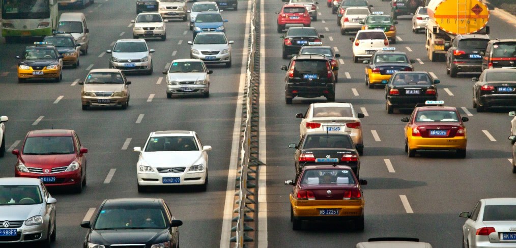
On a recent trip to Boston, I was thinking of Kevin Lynch’s classic urban design book, The Image of the City. The way that we understand the places where we live and visit takes on a different perspective in the digital age. Written in 1960, The Image of the City examined how people understand the cities they live in with mental maps. He looked at three cities – Boston, Jersey City and Los Angeles – and found that people in these different places used five similar elements in their mental maps of the cities: paths, edges, districts, nodes and landmarks. These principles of mental maps still apply to the way we understand cities today. Lynch said that an ordered environment can do more than enable someone to move easily, “it may serve as a broad frame of reference, an organizer of activity or belief or knowledge.” He explained that it plays a social role in the collective memory of a group or culture. Between the time that the book was written in 1960 and today, the Big Dig has placed the old elevated highway in a tunnel below the ground with parks above. For the people of Boston, this change represents a substantial investment in their downtown and improves the experience of those who live there. As Lynch explained, an environmental image has 3 components – identity, structure and meaning. The park above the Big Dig is structurally similar in many ways to the elevated highway in that it forms a distinct edge; but its identity and meaning is much different. The role of media was not addressed in Lynch’s book, but obviously it is much more pervasive now. Our mobile devices have access to a lot more information than the old paper maps could show. They can connect us to restaurant reviews, merchandise for sale, phone numbers and much more. If we are unfamiliar with a place, we probably rely less on visual cues and more on following the navigation instructions directly from the software. Sometimes though, it is still difficult to find our way and the software has limited three-dimensional imagery of buildings, landmarks or other features that are part of our mental maps. The software we use would benefit from incorporating all of Lynch’s five elements instead of relying on the streets alone and become the foundation for all this information available at our fingertips. It’s easy to imagine that in the future we would be able to find even more information about a place on our mobile devices. Perhaps we could access information about historical events that took place on that spot and even view historical photographs of that place. Standing on the street and seeing Boston as it was in 1860 or 1960 would give us a new perspective on where we are today. The Image of the City is worth reading again in light of our current circumstances to think about what this means for us today.
CallisonRTKL
Latest posts by CallisonRTKL (see all)
- Learning the Language of Sustainability - October 17, 2017
- Renting Isn’t Just for Millennials Anymore - January 10, 2017
- Off the beaten path: is an architectural revolution in store for Cuba? - January 5, 2017
- Holiday Gift Ideas for your Mother (Earth) - December 16, 2016